 |
| BLEAT logo (by J. Shirley) |
So yesterday (01/12/2012) the first mission of UEA BLEAT
(the University of East Anglia Balloon Launch and Exploration Team) was carried
out.
0500hours: 6hours to high altitude balloon launch
The day started at 5am when Commander Rushby, Admiral von
Glasow, Captain Mills and myself (Chief Engineer Royle) loaded up the launch
convoy from the University of East Anglia’s Environmental Sciences department.
It was dark, bitterly cold and I hadn't been to sleep yet having arrived at the
department straight from a party that was still going when I left after 4. Commander Rushby, on the other hand, had spent the night sleeping under his desk
in the office, although somehow we were both surprisingly cheerful and
optimistic about the day ahead.
 |
| 5am: Ready to go, once Commander Rushby finishes his breakfast |
0530hours: 5hours and 30minutes to launch
The launch convoy of Admiral von Glasow (the only person
trained to transport pressurised gases) in the Helium Transport Vehicle and the
other 3 of us in the Mobile Command Centre (Captain Mills’s ancient camper van)
headed off by 5:30 towards the launch site in Burton-Upon -Trent. Most of my
journey was spent napping on the sofa in the back of the van but from what I
did see we appeared to get there without a hitch – aside from the very poor decision
to eat disgusting microwaved petrol station sausage butties for breakfast.
1000hours: 1hour to launch
We arrived at the launch site, Shobnall Leisure Centre,
and, after Commander Rushby had made final pre-flight checks with all the relevant
authorities, made final preparations for launch. Inflating the balloon – after having
to borrow a bigger spanner from the very helpful staff at the centre as the one
we had brought didn't fit around the gas regulator – starting up the cameras,
adding yet more duct tape to secure the payload and tying all the components of
the 20m long high altitude payload launch and recovery system (balloon,
parachute, ‘spacebox’ capsule, radiosonde tracking system) together.
 |
| Inflating the balloon by the launch convoy, Mobile Command Centre on left |
 |
| Me with the balloon |
1100hours: 0hour, liftoff
Successful launch from the middle of a football field,
watched on by confused dog walkers and runners – although none more surprised
than us that it worked perfectly. As we watched the balloon climb rapidly (at
around 8m/s) and disappear into the sky, the tracking system kicked in and, once
the radio receiver was taped to the roof and the mobile command centre was set
up in the back of the van, we were ready to go.
 |
| Commander Rushby and Admiral von Glasow readying the launch |
1130hours: 0hours 30minutes flight time
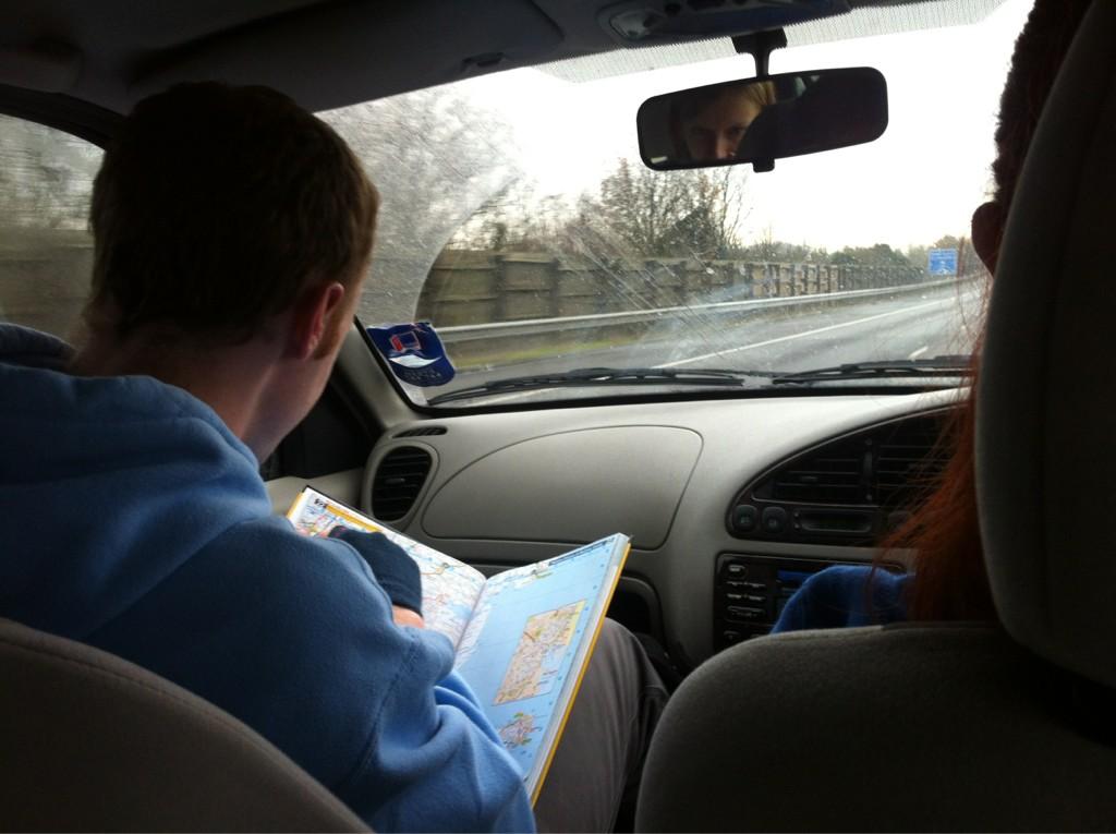
We sped down the M11 tracking the balloon in real time,
passing the sporadically gained balloon’s elevation, azimuth and
distance-from-launch-site data on to Science Officer Chylik at Mission Control.
Here this data was converted to latitude and longitude data and constantly
updating predictions were made about the balloon’s flight path and landing
area. As all we had to go on was the pressure and temperature data to guesstimate heights
we just headed SW and carried on relaying the data as it came in.
1200hours: 1hour 00minutes flight time
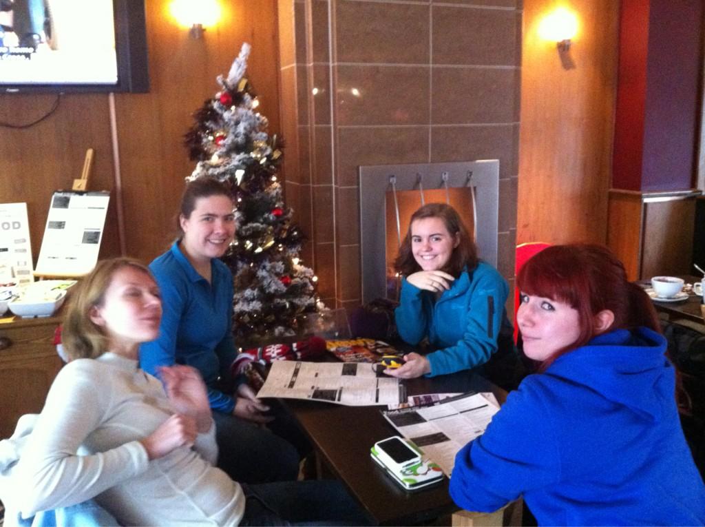
After a rather relaxed morning and a pub lunch somewhere
near Harlow, the Chase Team (driven by Captain Gooch, led by
Tactical Officer Surl and completed by Ensigns Huezé, Davies and van der Weil)
set off fearlessly in hot pursuit of the balloon which had been predicted to come down
between Welwyn Garden City and Cheshunt.
 |
| The Chase Team having a very taxing morning (photo by L. Surl) |
1243hours: 1hour 43minutes flight time
As I sat in the back of the speeding (not literally) Mobile Command Centre, intensely staring at the computer tracking readouts, the pressure and
temperature data which had both gradually been falling and had reached around
13hPa and -67oC respectively suddenly started increasing; burst had occurred
at approximately 28,210m over Northhampton. The slow rate of increase suggested
that the parachute had deployed successfully and this was confirmed when the
radiosonde started to report actual altitude data showing a perfect descent
rate of 4m/s. Science Officer Chylik came into his own at this point,
constantly updating predictions while we parked up at Watford Gap services to
increase radio signal accuracy.
 |
| Mobile Command Centre in action trying to pinpoint the balloon's last known loacation |
1315hours: 2hours 15minutes flight time
Unfortunately we lost radio contact around 0115hours at approximately
2500m altitude and so the landing predictions were somewhere within a rather
large ellipse around Oaklands Forest, Hertfordshire. The Chase Team were rapidly deployed to search
this area and Mobile Command sped down the motorway to assist.
 |
| Chase Team in action |
1350hours: 0hours 40minutes after losing contact; 2hours
to sunset
The chase team arrived in the predicted landing area and
proceeded to search on foot, splitting into 2 search parties to cover ground
more quickly.
1500hours: 1hour 10minutes after losing contact;
50minutes to sunset
Mobile Command also reached the search area, searched the
dense woodland below the balloon’s last known location and tried to recruit as
many passing dog walkers as possible to keep an eye out for it. Even though we knew the odds were greatly against us finding anything in this terrain we continued tirelessly until it got too
dark to see around 1600hours and were finally forced to concede defeat. Headed to the
local pub to meet up with the Chase Team, having to rely on someone finding the
box for us and the contact details on the side having survived the trip.
2000hours: 6hours 10minutes after losing contact; been awake for 37hours
Finally arrived back at ground control for commiseration
drinks and pizza, while we did not recover the box on the day all is not yet
lost and Hertfordshire’s local police and media have been notified in case anyone reports seeing anything strange in the sky or actually finds it. Also, this was still a
very successful shakedown flight showing us that the payload delivery, high
altitude tracking and landing system worked very effectively and that for
future missions we need to develop a way of tracking the box’s ground position –
most likely by investing in a cheap Android mobile phone with an app that can
relay its co-ordinates by text message.
Full live tweet coverage of the launch and recovery
attempt can be found at @UEABLEAT and will also be covered in next week’s issue
of Concrete, all photographs I took on the day are here.


For all those who would like to view landing location
ReplyDeletehttps://maps.google.co.uk/maps/ms?msid=217639493212743314868.0004cfe316e9a0afb5699&msa=0&ll=51.835353%2C-0.160332&spn=0.094936%2C0.264187
Nice one Honza
Delete